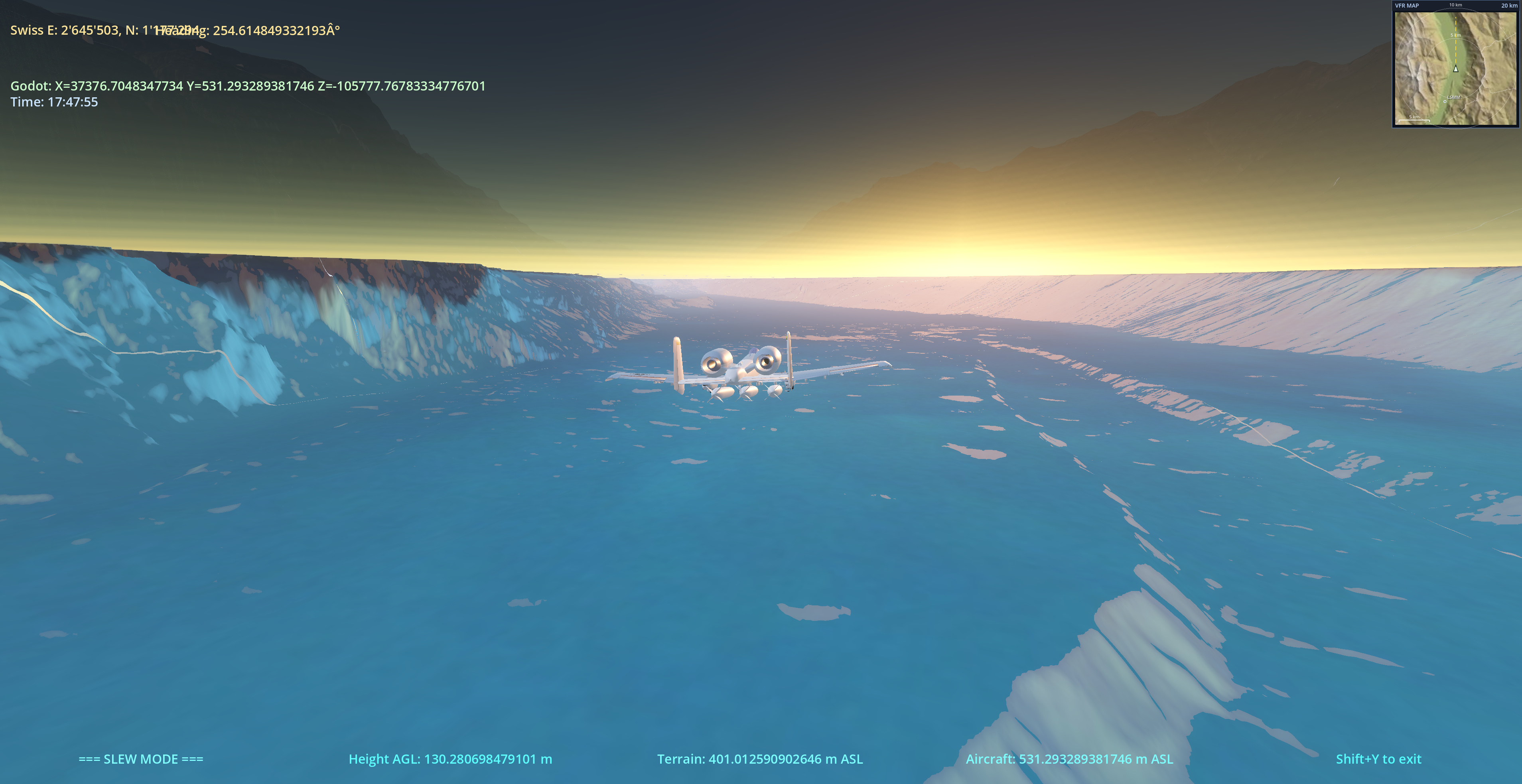


v1.0.10 — VFR map frame
September 2026
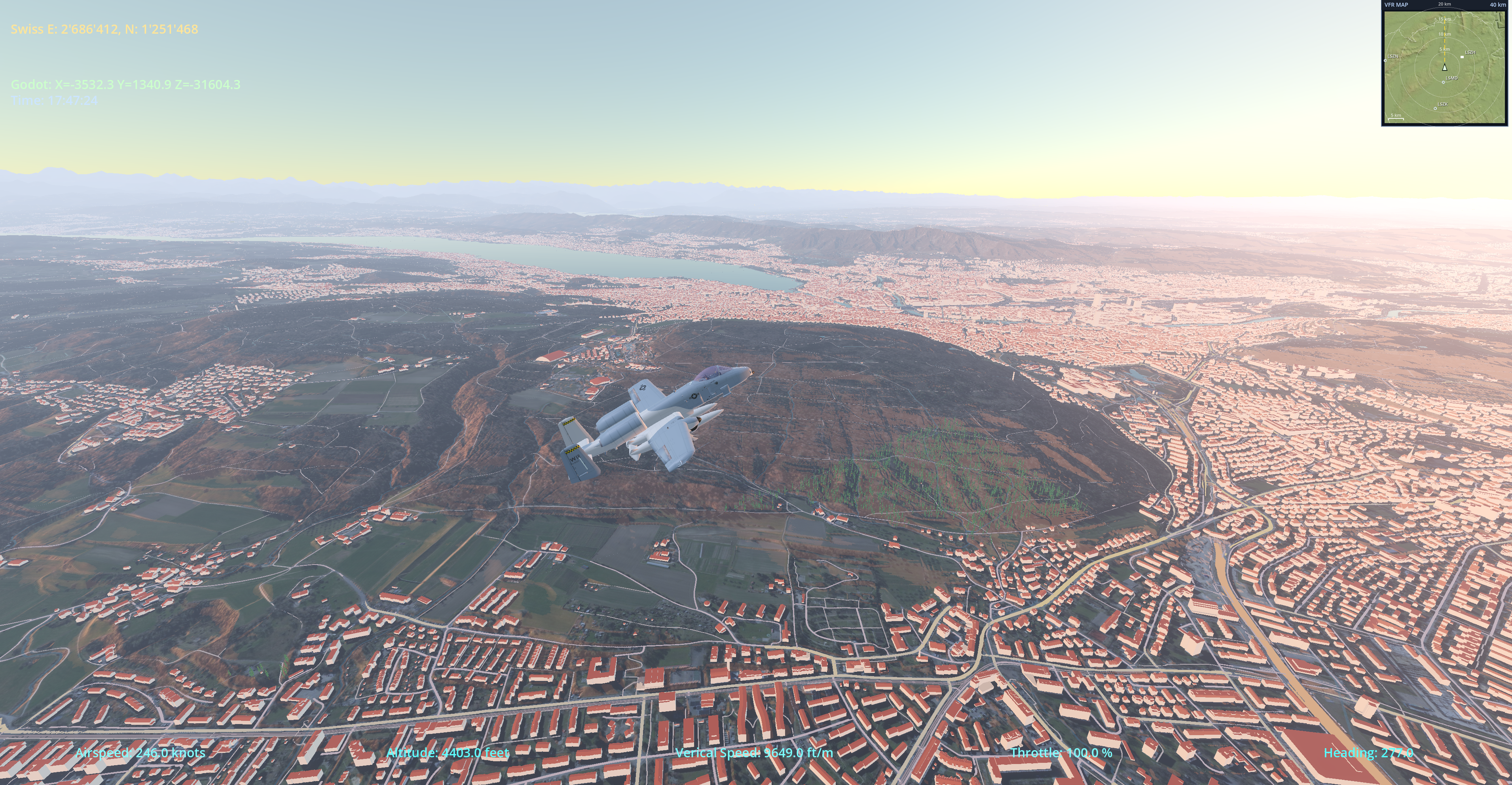
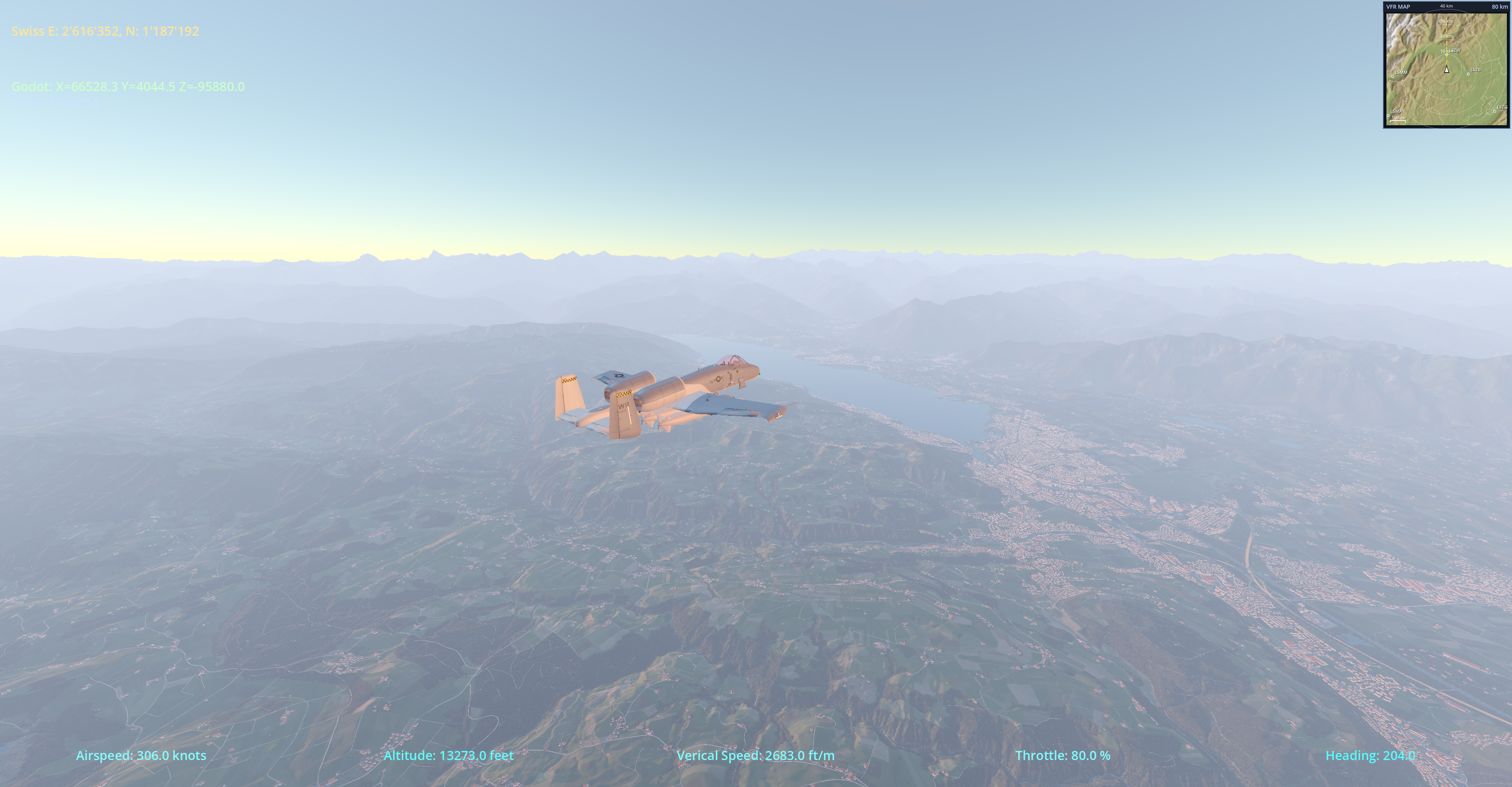
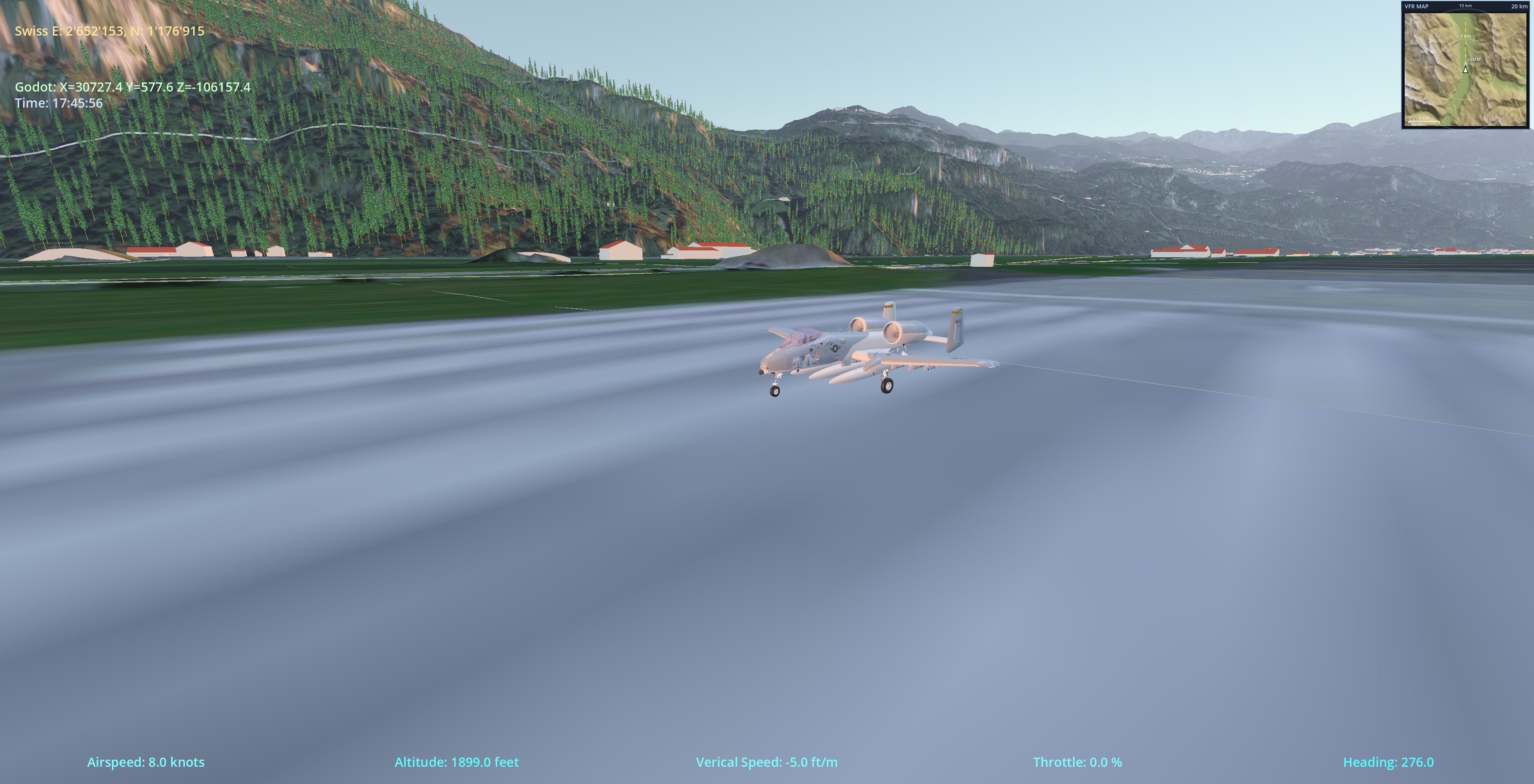
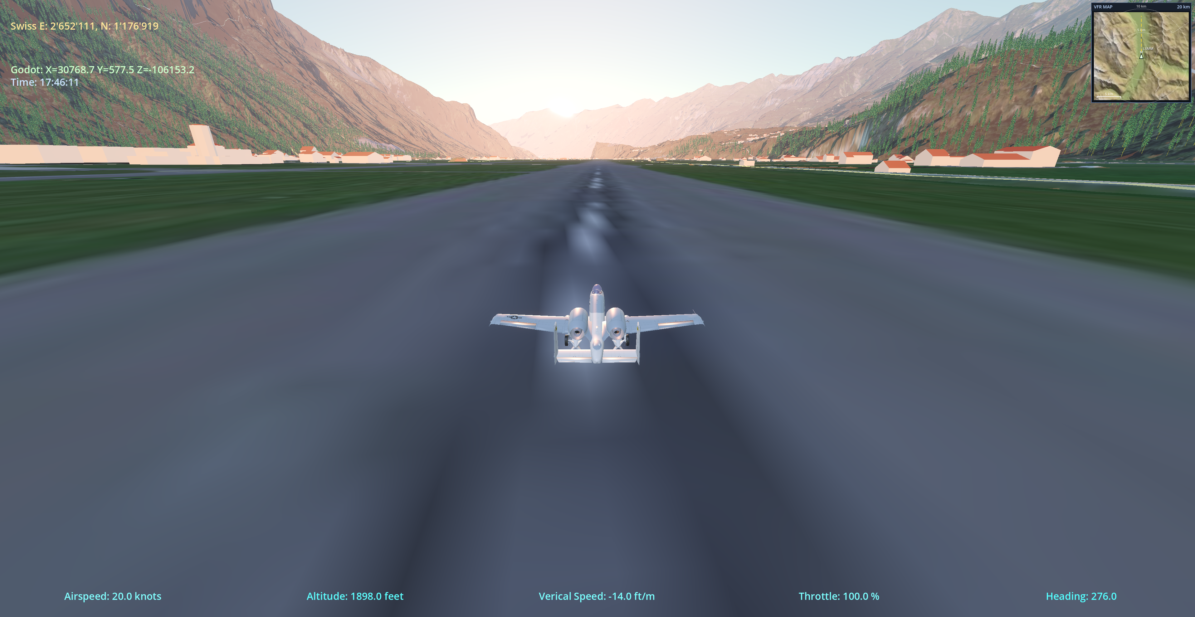
- Heading-up VFR map inset — a new MFD-style map frame in the HUD, rendered entirely in C++: cartographic hillshade terrain with hypsometric tint, range rings and a km scale bar, airport symbols with ICAO labels, and canton borders — all rotating with your heading. Toggle it with
Nand zoom from 80 km down to 5 km view width with the mouse wheel or−/+. The map keeps tracking the aircraft while you slew, too. - VFR Map settings — a new Settings → VFR Map section shows/hides the frame and picks its size (Small / Medium / Large). Your zoom level is remembered between sessions.
- Map data ships in the base scenery packs — the republished base packs (v2) now carry ~150 MB of pre-rendered hillshade tiles per region, so the in-app VFR map works out of the box for downloader installs — including Baden-Württemberg, where cells straddling the CH/BW border are rendered from both regions' elevation data.
- Final A-10 model — existing installs automatically re-extract the updated Fairchild A-10A Thunderbolt II on first launch (aircraft bundle 1.0.11).
- macOS release build hardened — the macOS app now ships the release-mode world3d engine and building faces data, with every GDExtension verified at build time.